- Accommodation
- What's On
- Things to Do
- Food and Drink
- Explore Cumbria
- Ideas and Inspiration
- Christmas & New Year
- Itineraries - Great days out
- Starring Great Britain: The Lake District, Cumbria
- Lake District, Cumbria Bucket List
- Selfie Guide
- Dark Skies Cumbria
- Cumbria Tourism Awards 2025
- The National Trust in the Lake District
- Sunny day ideas
- Rainy day ideas
- Romantic Breaks
- Family Holidays
- Dog Friendly Holidays
- Bespoke Holidays
- Caring for the environment
- Plan Your Visit
- Weddings
- Conferences & Event Spaces
- Prizes & Guides
- Let's Go Lake District Blog
- Special Offers
You are here: Home > Things to Do > Grasmoor and Rannerdale Knotts
Grasmoor and Rannerdale Knotts

Type:Walking Route
About
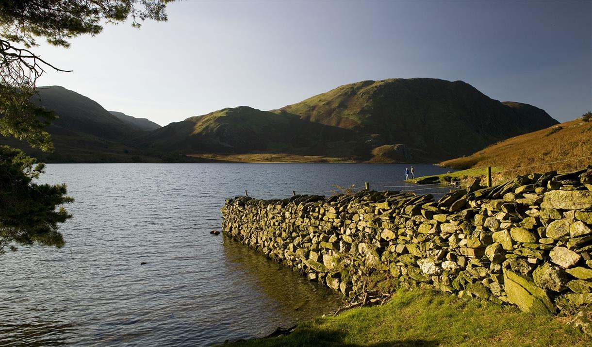
Viewed from the west Grasmoor looks like a simple pyramidal peak but this is deceiving. Behind its giant west face it's a complex range of deep cut gills and valleys ringed by high crags and fine grassy ridges. Exploring this fine mountain is a delight with different views and secretive corners to be uncovered at every turn. This walk gains the main ridge of the range via a steady ascent up the outrider Rannerdale Knotts and over the subsidiary peaks of Whitless Pike and Wandope - then after topping out on Grasmoor it returns by descent into the depths of Gasgale Gill from where you can spy the impressive rocks of Dove Crag and Gasgale Crags. For those with excess energy, instead of returning to Buttermere via the road the pleasant path that circles round Crummock Water can be taken.
Planning an adventure in the Lake District, Cumbria? Make sure you’re prepared for your route, the weather, and every possibility. Be AdventureSmart and check out our top tips on staying safe, and having fun before you go.
Grade: Intermediate
Start/Finish: Buttermere (NY174170)
Distance: 11.2 miles (18km)
Time: 5.5 hours
Height gain: 837m
Terrain: lakeside road, steep sided truncated spur, narrow crest, steep fellside, high rounded ridges summit plateau and steep craggy valley
Maps: OS Landranger 89, OS Outdoor Leisure 4, Harveys' Superwalker (1:25 000) and Walker (1:40 000) North West Lakeland.
1. From Buttermere village head North West along the road to Hause Point. Just round the bend from Hause Point leave the road and pickup the footpath and climb it steeply East to the summit of Rannerdale Knotts.
2. Head South East along the crest to the col below Whiteless Breast. At the col turn left and climb North East to Whiteless Breast then North to Whiteless Pike.
3. From Whiteless Pike the exposed but easy Whiteless Edge is followed North East to the rounded summit of Wandope.
4. The angle relents considerably after Wandope. To gain Grasmoor it is simply a matter of heading North West then West across the broad grassy col. The col and the summit plateau are featureless and ringed by crags so in poor visibility you should constantly check your bearings.
5. From the summit of Grasmoor backtrack East across the summit plateau then descend North East down the grassy gill to Coledale Hause. From Coledale Hause turn left and descend West down the narrowing Gasgale Gill path to join the road at Lanthwaite. At the road turn left and follow it back to Buttermere.
5a. If you are going to walk round the lake you should turn onto the lakeside footpath on the right 1km South of Lanthwaite.
Book Tickets
Facilities
Routes
- Length of route (miles) - 11
- Typical duration of route - 5 - 6 hours
Tripadvisor
Awards
- Cumbria Awards
 Member of Cumbria Tourism 2016
Related
 Buttermere, ButtermerePeaceful Buttermere, a valley of lakes and high mountains offering superb opportunities for quiet…
 Haystacks, ButtermereThis modest mountain occupies an important position at the head of the Buttermere valley and is…
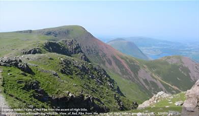 High Stile Range, ButtermereThe climb onto the main ridge of the High Stile Range is a bit on the stiff side but once you get…
What's Nearby
Buttermere is ringed by the crags and peaks of Haystacks, Feetwith Pike and others. The…
0.7 miles awayCrummock Water has unparalleled views. At 2.5 miles long, it is a clear, rocky bottomed…
1.89 miles awayPillar (892m) lies at the head Mosedale and Ennerdale valleys and is named after, and…
2.99 miles away
Newlands church, set in the midst of the lovely Newlands Valley, is a haven of peace and…
3.69 miles awayThe slate mine tours at Honister Slate Mine offer an exciting experience suitable for all…
3.73 miles awayDiscover the peace and quiet of Holme Wood, a mixed woodland of alder, oak, lime,…
4.18 miles away
You may also like
Receive all the latest news, special offers and information from the Lake District, Cumbria
Cumbria Tourism, Windermere Road, Staveley, Kendal, Cumbria, LA8 9PL


 to add an item to your Itinerary basket.


