- Accommodation
- What's On
- Things to Do
- Food and Drink
- Explore Cumbria
- Ideas and Inspiration
- Christmas & New Year
- Itineraries - Great days out
- Starring Great Britain: The Lake District, Cumbria
- Lake District, Cumbria Bucket List
- Selfie Guide
- Dark Skies Cumbria
- Cumbria Tourism Awards 2025
- The National Trust in the Lake District
- Sunny day ideas
- Rainy day ideas
- Romantic Breaks
- Family Holidays
- Dog Friendly Holidays
- Bespoke Holidays
- Caring for the environment
- Plan Your Visit
- Weddings
- Conferences & Event Spaces
- Prizes & Guides
- Let's Go Lake District Blog
- Special Offers
You are here: Home > Things to Do > Wansfell Pike
Wansfell Pike

Type:Walking Route
About
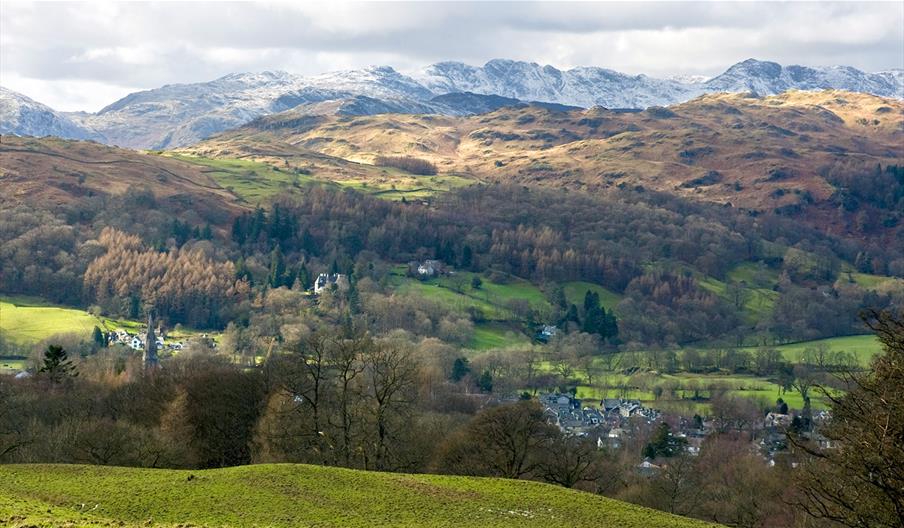
The triangle of fells sandwiched between Ambleside and Troutbeck terminates at the diminutive summit of Wansfell Pike. Although relatively small, Wansfell Pike is surrounded by deep valleys and is separated from its neighbouring peaks by considerable distance, all of which allow stunning unrestricted views from its summit. From Ambleside you can get straight onto its flanks and be on open fell side in next to no time. Most people make an ascent and return the same way, usually taking the Stockgyhll Lane approach. This is fine if you are restricted by time, but if you can, it is really worth making a crossing and heading over the top to Troutbeck. The advantage of this is that not only can you take in the superb summit vista but you can explore the quieter side of Wansfell with its old fell lanes and wooded ghylls, and also sample the delights of Troutbeck, a truly classic Lakeland village.
Planning an adventure in the Lake District, Cumbria? Make sure you’re prepared for your route, the weather, and every possibility. Be AdventureSmart and check out our top tips on staying safe, and having fun before you go.
Grade: Strenuousness 3, Navigation 3, Technicality 3
Start / Finish: Ambleside (NY376045)
Distance: 6.3 miles (10.2km)
Time: 4-5 hours
Height gain: 600m
Terrain: narrow lanes, steep pitched path, summit rocks, open fell, hill track, valley road and rocky bridleways.
Maps: OS Landranger 90, OS Explorer OL7, Harveys' Superwalker (1:25 000) Lakeland Central.
1. From the centre of Ambleside take Stockghyll Lane (accessed from the road beside Barclays Bank) as it climbs steeply up hill to the start of a track by the college entrance. Continue climbing east up the track to the start of a footpath on the right (after 250m).
2. Turn right onto it and follow the gravel then pitched path as it climbs steeply southeast direct to the summit rocks of Wansfell Pike. There is a bit of a rocky section just below the summit, which if you don’t fancy it, can be by-passed, either to the left or the right.
3. Once you have explored the summit and taken in the views the descent path lies to the East. It winds its way across open slopes to reach a wall after 800m. On the other side of the wall the path splits. Ignore the right branch; instead continue East for 150m to another wall at a bend. This is Nanny Lane, join it and follow it South East all the way down to the road at Troutbeck. Turn right onto the road and follow it South through the village for 800m to the Post Office and village shop.
4. The track on the right, just after the Post Office, is Robin Lane, this is the start of the return leg. The first bit of Robin Lane is a climb, follow it South West then West, after 600m the gradient eases and it turns North West to a junction. Take the left fork and make the pleasant descent to a beck, cross the beck, make the short climb on the other side then make another descent to Hol Beck.Continue West up hill to High Skelghyll.
5. High Skelghyll marks the start of the final descent back to Ambleside. Continue West then North West through Skelghyll Woods down to Old Lake Road. This is a popular route for mountain bikers so it is worth listening out for their approach from behind. Once on the Old Lake Road follow it North to the A591 which is then taken back to the centre of Ambleside.
Book Tickets
Facilities
Routes
- Length of route (miles) - 6
- Typical duration of route - 4 - 5 hours
Awards
- Cumbria Awards
 Member of Cumbria Tourism 2016
Related
 Tour of Loughrigg Fell, AmblesideThe fells just west of Ambleside are gentler than the higher fells and offer a good introduction to…
 Troutbeck and Jenkin Crag, AmblesideTroutbeck and Ambleside are linked by an old bridleway that traverses the southern flanks of…
 Claife Heights from Ambleside, AmblesideClaife Heights, an area of low fells lying west of Windermere, is an excellent venue for those new…
 Scandale and Red Screes, AmblesideSecretly tucked away behind Ambleside is the high valley of Scandale.
 Fairfield Horseshoe, AmblesideThe Fairfield Horseshoe is probably the most famous of the classic Lake District rounds - this…
 Tour of Langdale, AmblesideLangdale is the closest valley to Ambleside which leads you right into the heart of the Lake…
 Lily Tarn and Todd Crag, AmblesideYou don't have to climb to the top of the highest peaks to experience the magical mixture of…
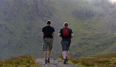 Loughrigg Fell, AmblesideLoughrigg Fell might not be the biggest peak in the Lake District but standing by the summit trig…
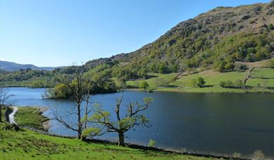 Ambleside to Grasmere - 'The Coffin Route', AmblesideWalking the Coffin Road from Ambleside to Grasmere then taking advantage of the bus for the return…
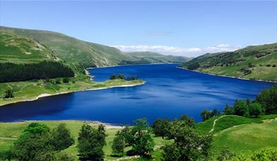 High Sweden Bridge, AmblesideCutting deeply into the hills on the northern side of Ambleside, the wild and lonely valley of…
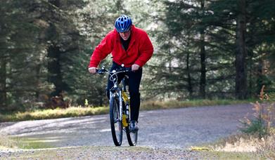 Tour of the Langdales, AmblesideGreat Langdale, and its sister valley Little Langdale,sit side by side amongst the high dramatic…
 The Mountain Road, AmblesideThis ride is one for toughies on mountain bikes.
 Tarn Hows and Tilberthwaite, AmblesideBetween Ambleside and Coniston is an intricate network of low fells and twisting dales.
 Tour of Coniston and Hawkshead, AmblesideMaking frequent stops and taking in all the attractions of an area is all part of the fun of being…
 King Street Car Park, Ambleside, AmblesideParking spaces: General: 29, Disabled spaces: 3, Motorcycle spaces: Can use any of the spaces with…
 Lake Road Car Park, Ambleside, AmblesideOpen 7 days a week including bank holidays from 8am to 8pm.
Parking spaces: General: 48, Disabled…
 Low Fold Car Park, Ambleside
 Rydal Road Car Park, Ambleside
What's Nearby
If you’re visiting the Ambleside area why not pop into the Old Courthouse Gallery? We…
0.04 miles awayVisible from miles around that spire of St Mary’s nestles into the beautiful landscape of…
0.18 miles awayMuseum, art gallery and reference library covering the history life and arts of the Lakes…
0.22 miles away
Rothay Park is a popular park situated in the centre of Ambleside, it is surrounded by a…
0.28 miles awayStock Ghyll Force is a 70-foot waterfall nestled in woodlands right in the heart of…
0.44 miles awayOffering superb Lake Views, large open green space, picnic tables and parking nearby,…
0.68 miles away
You may also like
Receive all the latest news, special offers and information from the Lake District, Cumbria
Cumbria Tourism, Windermere Road, Staveley, Kendal, Cumbria, LA8 9PL


 to add an item to your Itinerary basket.


