- Accommodation
- What's On
- Things to Do
- Food and Drink
- Explore Cumbria
- Areas of Cumbria
- Towns & Villages
- Lakes of the Lake District
- Travel
- Year of the Coast
- Dark Sky Cumbria
- World Heritage Cumbria
- Access for all - Adventure for Everyone
- Historic Houses, Parks & Gardens
- Mountains and Fells
- Wainwrights
- The National Trust in the Lake District
- Cumbrian Castles
- Cumbrian Churches
- Harbours & Marinas
- Tourist Information Centres
- Ideas and Inspiration
- Starring Great Britain: The Lake District, Cumbria
- Lake District, Cumbria Bucket List
- Selfie Guide
- Suggested Itineraries
- Sunny day ideas
- Rainy day ideas
- Spa Breaks
- Romantic Breaks
- Family Holidays
- Dog Friendly Holidays
- Bespoke Holidays
- The Inn Collection Group in the Lake District
- Sustainable Stays
- Caring for the environment
- Live, Work and Study in The Lake District, Cumbria
- Weddings
- Conferences & Event Spaces
- Prizes & Guides
- Blog
- Plan your journey
- Special Offers
Don't Miss
You are here: Home > Things to Do > Scafell Pike and Scafell via Brown Tongue
Scafell Pike and Scafell via Brown Tongue

Type:Walking Route
About
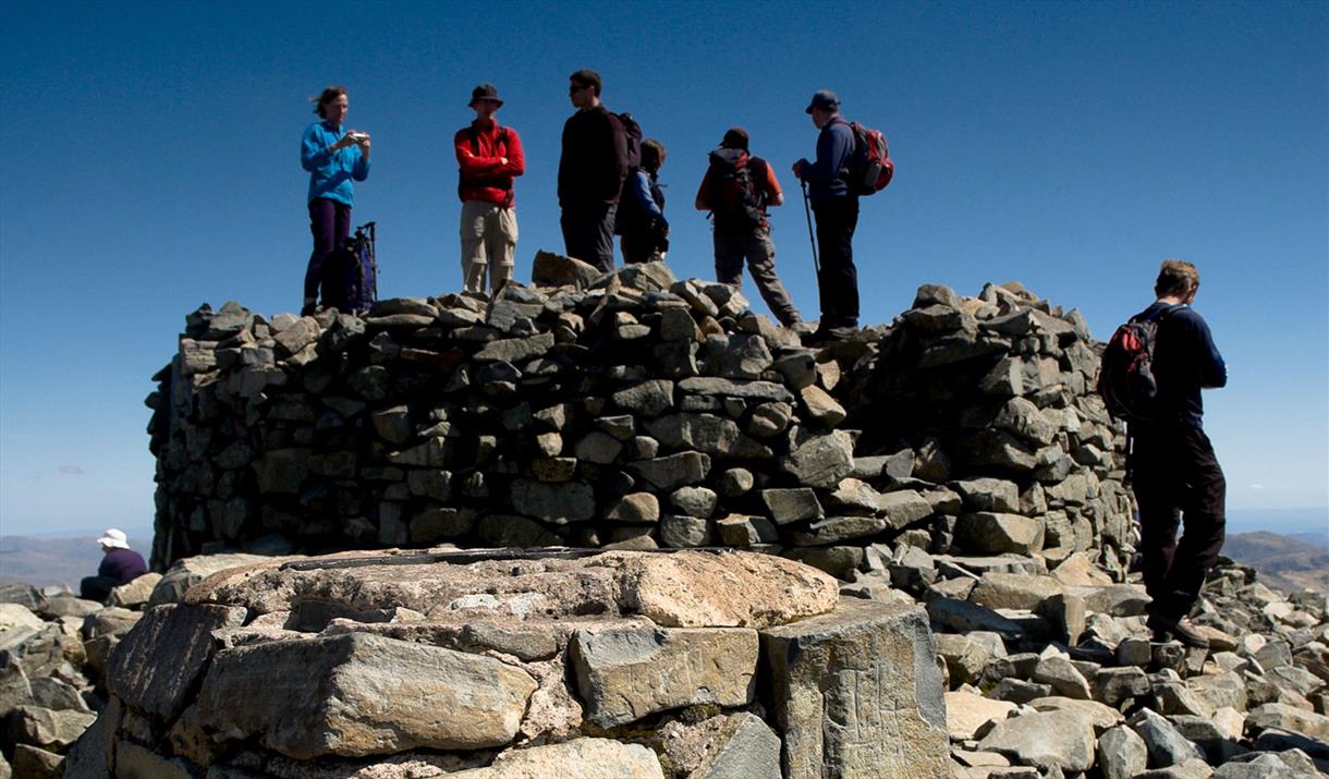
The mountains around Wasdale Head are arguably one of the finest mountain landscapes in Britain and grandest of all of these fine mountains are the twin peaks of Scafell and Scafell Pike. The most direct walk to these two mountains is straight up the moraine that extends west from Hollow Stones known as Brown Tongue. It's a bit of a slog but the ever-expanding views of Pikes Crag and Scafell Crag provide perfect motivation and deliver you to within striking distance of England's highest mountain. From Hollow Stones a rough but easy path avoids the crags and leads to Lingmell Col, which in turn gives access to the summit of Scafell Pike via the northwest ridge. The traditional link to Scafell was via Lord's Rake but recent massive rock falls have made this route very dangerous, experienced scramblers and climbers can do Broad Stand.
For walkers however the shortest route is via the Foxes Tarn path. This does involve a little bit of extra descent on the Eskdale side of Mickledore but the stunning wild scenery en-route will more than compensate. Descent from Scafell is via the Green How path down the west ridge, which is straightforward and has good views down the length of Wastwater.
1. Take the permissive path past Brackenclose then cross Lingmell Gill by the footbridge. On the other side follow the path east alongside the beck to the ford at the foot of Brown Tongue. Cross the ford and climb the steep path up Brown Tongue into the corrie of Hollow Stones. From here follow the vague path lines that traverse below Pikes Crag north east to Lingmell col. From the col turn right and head south east up the northwest ridge to Scafell Pikes trig point.
2. From the summit of Scafell Pike descend the rough path south west down to Mickledore then descend south east down the gill to the base of the East Buttress of Scafell (aprox. 320m down the gill) to pick up the Foxes Tarn Path. Follow it south west up the shallow gully to the tarn, behind which take the pitched path north west up the scree to the col between Scafell and Symonds Knott. Turn left and make the short pull south west to Scafell.
3. From the summit of Scafell return (North East) to the col between Scafell and Symonds Knott, then turn left and head west down the scree. The path continues to descend west (well back from the edge of Scafell's north-facing crags) to the Burnmoor Tarn bridleway at Fence Wood. Join it and follow it north then north west to the campsite.
Planning an adventure in the Lake District, Cumbria? Make sure you’re prepared for your route, the weather, and every possibility. Be AdventureSmart and check out our top tips on staying safe, and having fun before you go.
Grade: Strenuous
Start/Finish: Wasdale near the National Trust Camp Site, GR NY 181 076
Distance: 6 miles (9.75km)
Time: 5 hours
Height gain: 1187m
Terrain: woodland, steep fellside, narrow rocky ridges and stony summit plateau.
Maps: OS Landranger 89 or 90, OS Explorer OL6, Harveys' Superwalker (1:25 000) Lakeland West.
Book Tickets
Facilities
Routes
- Length of route (miles) - 6
- Typical duration of route - 5 - 6 hours
Tripadvisor
Awards
- Cumbria Awards
 Member of Cumbria Tourism 2016
Related
 Wasdale & Wastwater, WasdaleThis is another challenging route, from the beautiful high mountain valley of Wasdle to Scafell…
What's Nearby
The smallest church near the deepest lake and the highest mountain in England.
0.82 miles awayPillar (892m) lies at the head Mosedale and Ennerdale valleys and is named after, and…
1.55 miles awayGreat Gable is a mountain of perfect proportions so much so that it was chosen as the…
2.05 miles away
Sca Fell is a little lower at 964m than Scafell Pike and is 1 km away, but the direct…
2.66 miles awayScafell Pike is England's highest mountain at 978m. Its summit is marked by a huge cairn…
2.66 miles awayWastwater is probably the most scenic of all the lakes. It is surrounded by mountains,…
2.72 miles away
You may also like
Receive all the latest news, special offers and information from the Lake District, Cumbria
Cumbria Tourism, Windermere Road, Staveley, Kendal, Cumbria, LA8 9PL


 to add an item to your Itinerary basket.


